How Japanese Pilots Navigated Over the Ocean in WWII
YouTube / X-planed
How Japanese Pilots Navigated the Pacific Without GPS
During World War II, Japanese pilots flew long missions over the vast Pacific Ocean without modern tools like GPS or reliable radio navigation. With few landmarks available, they depended on careful planning, experience, and basic navigation techniques to reach their targets and return safely.
One of the main methods was dead reckoning. Before takeoff, crews plotted courses using maps, compass headings, estimated speed, and flight time. In the air, pilots followed these calculations closely while adjusting for wind, which could easily push them off course over long distances. They also used celestial navigation when possible. By observing the sun’s position, pilots could maintain a general sense of direction during daylight. Some trained navigators used simple instruments to measure angles between the horizon and celestial bodies to improve accuracy.
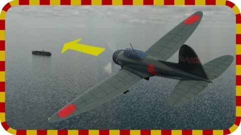
In addition, pilots relied on natural signs over the ocean. Changes in cloud formations, wave patterns, ocean color, and bird activity sometimes indicated nearby land or island chains, which were crucial reference points in the Pacific. Formation flying also helped reduce navigation errors. Less experienced pilots followed the lead aircraft guided by skilled navigators, improving the chances of staying on course during long over-water flights.
Overall, Japanese pilots combined planning, observation, and teamwork to navigate some of the most difficult flying environments of WWII, demonstrating impressive skill in an era before electronic navigation systems.


