On This Day in WWII (1944): USAAF B-24 Completes First Long-Range Recon Over Truk Atoll
YouTube / IsonzoEnjoyer
On February 4, 1944, a United States Army Air Forces B-24 Liberator carried out one of the longest photographic reconnaissance flights yet attempted in the Pacific war. Flying from Bougainville toward Truk Atoll, the crew gathered images of Japan’s main naval base in the central Pacific. The mission showed how far Allied air power had advanced and how intelligence flights shaped later combat planning.
The Strategic Importance of Truk
Truk Atoll, in the Caroline Islands, served as the main forward anchorage for Japanese naval forces in the region. Its large lagoon sheltered warships, supply vessels, and support craft, while nearby airfields protected the base. For much of the war’s early period, this stronghold operated as a central hub linking Japan with occupied areas to the south and east. Its distance from Allied lines made direct observation difficult.
Allied commanders needed clear knowledge of the atoll’s defenses, runway locations, and shipping activity. Submarine patrols and radio intercepts offered partial information, but photographs from the air provided the most reliable picture. A long-range aircraft with cameras could record fixed positions, measure facilities, and help planners understand how the base functioned. Such knowledge reduced guesswork and improved the accuracy of future strikes.
Preparing for a Demanding Flight
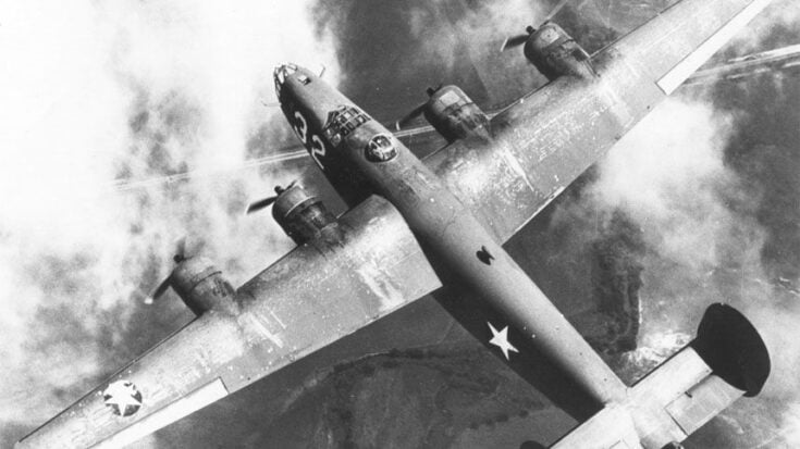
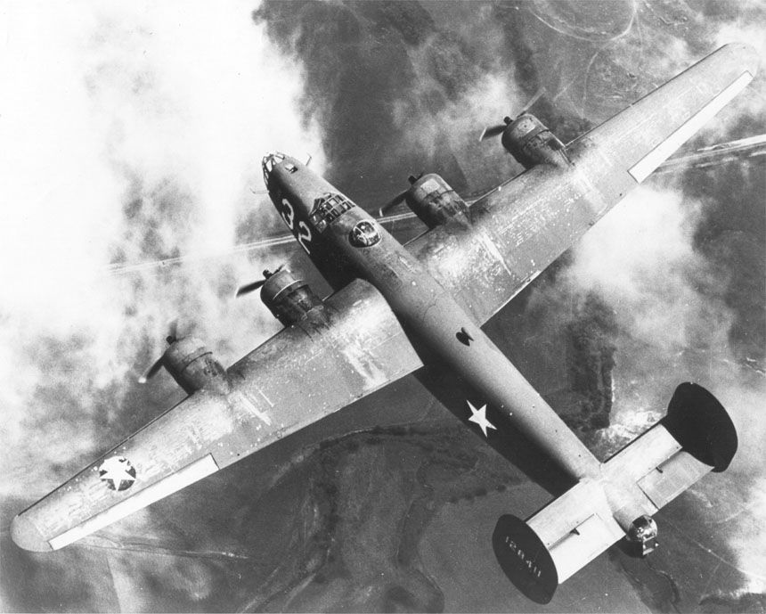
The B-24 Liberator was chosen because of its long range and high cruising altitude. For this operation, the aircraft carried special cameras instead of a full bomb load. Extra attention went to fuel planning, since there were no nearby friendly airfields for emergency landing. The crew knew that turning back early might mean losing valuable intelligence.
Navigation posed another challenge. Over open ocean, pilots relied on dead reckoning, celestial fixes, and careful timing. Weather could change quickly, and clouds might hide the target. Crew members also had to remain alert for enemy aircraft or anti-aircraft fire. Even without heavy fighting, the physical strain of many hours in the air tested endurance and concentration.
Over the Target Area
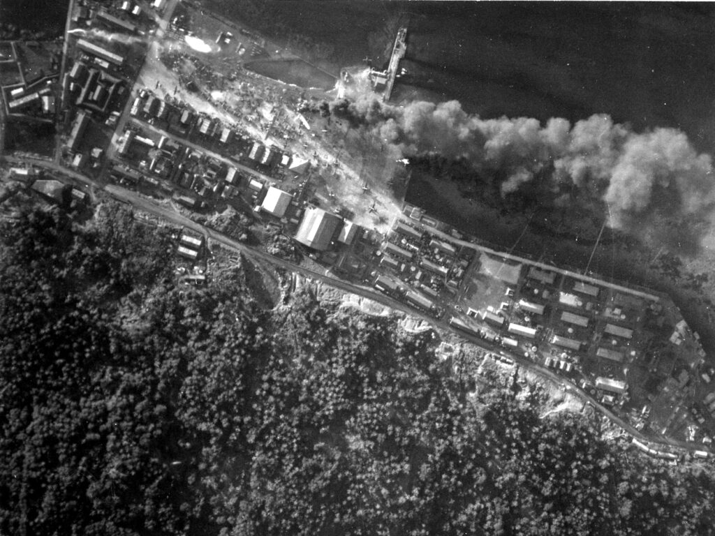
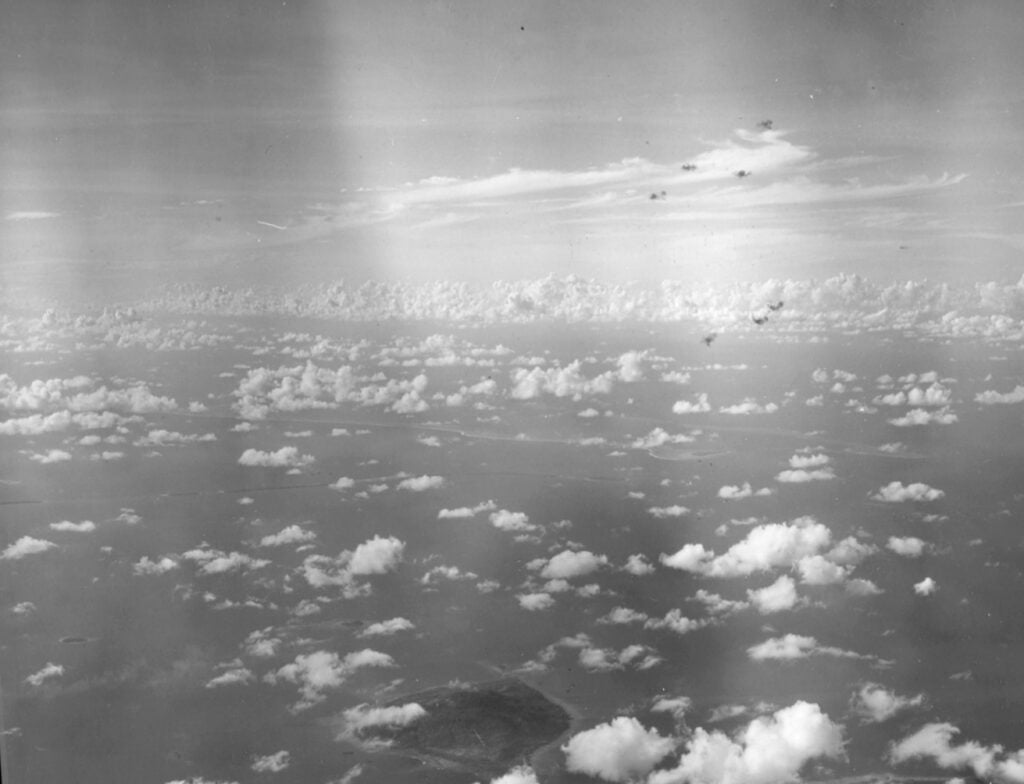
As the Liberator approached Truk, the crew climbed to an altitude suitable for photography and safety. From above, cameras recorded airstrips, shore facilities, ships anchored in the lagoon, and defensive positions. Each image captured details that ground observers could not see. Even partial coverage helped analysts map the layout of the base.
Cloud cover and haze sometimes limited visibility, yet enough film was exposed to make the mission worthwhile. The aircraft then turned back toward Bougainville, still far from friendly territory. The return leg demanded the same careful navigation as the outward flight. Fuel use was closely monitored to ensure the bomber could reach base without incident.
Intelligence and Future Operations
After landing, the photographic film was processed and studied by intelligence officers. The images confirmed the scale of installations at Truk and revealed the presence of many vessels. This information helped planners estimate defensive strength and choose future targets. Clear imagery allowed commanders to plan attacks with greater precision and lower risk.
These reconnaissance efforts formed part of a broader shift in Pacific strategy. As Allied forces moved forward, long-range aircraft extended observation deep into enemy areas. Reliable intelligence made later air and naval strikes more effective. The February 4 flight showed that distant strongholds were no longer beyond reach, and that information gathered by a single aircraft could influence major operations.


